enhanced zoning graphics

Stay true to your community’s vision in your online zoning code

eCode_enhancedgraphics

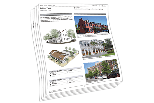
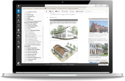
Enhanced Graphics is a Visual Zoning™ service that lets you optimize the presentation of your zoning code in print and online in eCode360, including mobile media, without compromising the original planning document’s design.

Smart features ensure that print, online and mobile code content is always clear, visually-compelling and easy to navigate

enhancedgraphics_multicolumn

Keep content within a proper section and in close proximity to relevant images.

enhancedgraphics_zoningcodetable

High resolution charts, maps and illustrations are integrated with relevant content in your Code to enhance overall clarity and usability.

Strategic use of color coding promotes a clear, organized Code structure and strategically connects related content and images.

enhancedgraphics_codetables

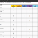
Large, complex tables are seamlessly integrated within your Code so users can easily view them in context rather than posting them as PDF files.

enhancedgraphics_codeimage

Image captions are fully searchable—just like the rest of the online Code.

codification_growth

We handle code updates for you, so your staff can focus on growing and strengthening your community

Our codification experts can easily incorporate all text and graphic updates so that municipal staff members don’t have to maintain the code themselves or host the zoning code separately from the rest of the municipal code.

Let’s Discuss Your Zoning Code Needs

Enhanced Graphics is a Visual Zoning Service from General Code

From online zoning maps, to flexible design enhancements for graphically-rich or form-based codes, our Visual Zoning services offer smart options that your municipality can provide to property and business owners so they can see what’s possible for their property—and grow your community.

Map out new growth opportunities in your community with an interactive zoning map

enhancedgraphics_visualzoning_generalcode
Skip to content